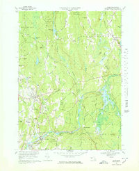
1969 Map of Barre
USGS Topo · Published 1978About this map
The Ware River and its various branches, including the Burnshirt River and the East Branch, carve through this section of Worcester County during a period of transition for local industry and infrastructure. Smaller villages like Williamsville and Coldbrook Springs are depicted alongside the larger centers of Barre and South Barre, where the Penn Central railroad corridors still trace the valley floor. The map highlights a landscape heavily utilized for both conservation and recreation, featuring the Hubbardston State Forest and the Ping Ridge Ski Area. Genealogists will find a high density of rural burial grounds, such as Nightingale Cem, Forest Hill Cem, and Riverside Cem, while the industrial history of the region is grounded by the Barre Falls Dam Gaging Sta and the Gravel Pits north of the Quabbin Regional High Sch.
Find a feature on this map
91 named features on this map. Tap any name to fly to it.
Don’t see what you’re looking for? This feature index may not catch every label — zoom into the map to look around manually.
Map Details
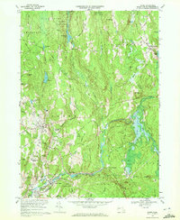
Editions of this 1969 Barre Map
2 editions found
Other maps of this area

1885 · Worcester
USGS Topo · 1:62,500

1886 · Worcester
USGS Topo · 1:62,500

1887 · Winchendon
USGS Topo · 1:62,500

1887 · Barre
USGS Topo · 1:62,500

1887 · Fitchburg
USGS Topo · 1:62,500

1889 · Fitchburg
USGS Topo · 1:62,500

1889 · Barre
USGS Topo · 1:62,500

1890 · Winchendon
USGS Topo · 1:62,500

1892 · Worcester
USGS Topo · 1:62,500

1893 · Fitchburg
USGS Topo · 1:62,500