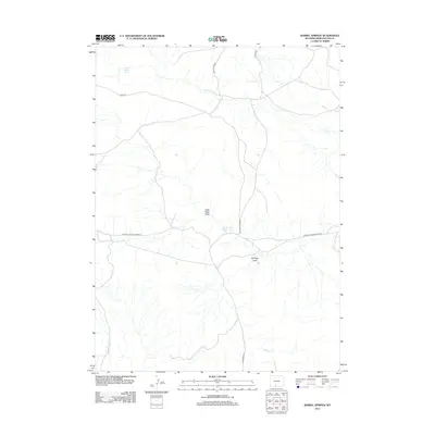
2012 Map of Barrel Springs
USGS Topo · Published 2012About this map
Barrel Springs anchors this high-desert landscape in Sweetwater County, where a network of Bureau of Land Management and county roads provide access to the remote terrain. The area is defined by its seasonal drainage systems, notably Wild Rose Draw and Mulligan Draw, which reveal the erosional patterns of the Wyoming basin. Though human settlement is sparse, the infrastructure is marked by thoroughfares such as Eurecka Headquarters Rd and Delaney Rim Rd, likely supporting local ranching or energy interests. Permanent water sources like North Barrel Spring remain critical landmarks in this arid environment, alongside named waterways including Shallow Cr and W Red Willow Cr. The map captures a moment of modern land management, showing the intersection of public land access and the natural hydrology of the Great Divide Basin.
Find a feature on this map
13 named features on this map. Tap any name to fly to it.
Don’t see what you’re looking for? This feature index may not catch every label — zoom into the map to look around manually.
Map Details
Editions of this 2012 Barrel Springs Map
This is the sole edition of this map. No revisions or reprints were ever made.
Other maps of this area

1954 · Rawlins
USGS Topo · 1:250,000

1954 · Rock Springs
USGS Topo · 1:250,000

1958 · Rawlins
USGS Topo · 1:250,000

1958 · Rock Springs
USGS Topo · 1:250,000

1962 · Rawlins
USGS Topo · 1:250,000

1962 · Rock Springs
USGS Topo · 1:250,000

1966 · Eightmile Lake
USGS Topo · 1:24,000

1967 · Rawlins
USGS Topo · 1:250,000

1970 · South Barrel Spring
USGS Topo · 1:24,000

1970 · Red Desert SW
USGS Topo · 1:24,000