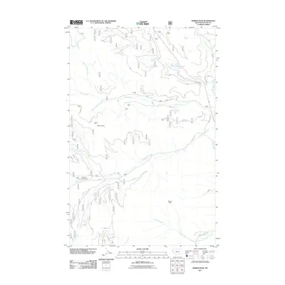
2011 Map of Barren Peak
USGS Topo · Published 2011About this map
Barren Peak and Teeters Peak anchor this high-elevation landscape in Lincoln County, where complex drainage systems feed into the Fisher River. The network of waters defines the geography, with Schrieber Creek flowing through Schrieber Lake and the South Fork Miller Creek carving through steep elevations. While the terrain is dominated by these natural features, human activity is marked by the presence of the Waylett Mine, signaling the region's mineral history. Recreational access is noted at the Lake Creek Campground, situated along the banks of Lake Creek. The 2011 survey documents a system of forest service roads, such as Miller Creek Rd and Silver Butte Rd, which provide the primary transit through these watersheds, illustrating the balance between wilderness management and public access in the Montana backcountry.
Find a feature on this map
22 named features on this map. Tap any name to fly to it.
Don’t see what you’re looking for? This feature index may not catch every label — zoom into the map to look around manually.
Map Details
Editions of this 2011 Barren Peak Map
This is the sole edition of this map. No revisions or reprints were ever made.
Other maps of this area

1920 · Libby
USGS Topo · 1:125,000

1920 · Jennings
USGS Topo · 1:125,000

1930 · Libby
USGS Topo · 1:125,000

1932 · Libby
USGS Topo · 1:125,000

1932 · Trout Creek
USGS Topo · 1:125,000

1935 · Thompson Lakes
USGS Topo · 1:96,000

1935 · Trout Creek
USGS Topo · 1:125,000

1936 · Trout Creek
USGS Topo · 1:125,000

1937 · Thompson Falls
USGS Topo · 1:125,000

1942 · Thompson Lakes
USGS Topo · 1:125,000