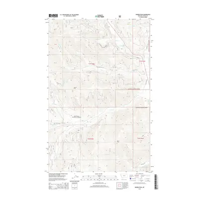
2014 Map of Barren Peak
USGS Topo · Published 2014About this map
Kootenai National Forest dominates this section of Lincoln County, where the high ridges of the Cabinet Mountains are defined by prominent summits like Teeters Peak and Barren Peak. The drainage patterns here are complex, with the Fisher River and Silver Butte Fisher River serving as primary watercourses fed by numerous tributaries such as Schrieber Cr and Miller Cr. A small alpine basin holds Schrieber Lake near the center of the northern half, accessible via the Natl Forest Develop Road 6741 Rd. The map reveals a network of forest service roads including Miller Creek Rd and Silver Butte Rd, which provide access to the timbered slopes and creek bottoms. This landscape is characterized by its steep vertical relief and the many named forks of its water systems, including the N Fork Miller Cr and W Fisher Cr.
Find a feature on this map
30 named features on this map. Tap any name to fly to it.
Don’t see what you’re looking for? This feature index may not catch every label — zoom into the map to look around manually.
Map Details
Editions of this 2014 Barren Peak Map
This is the sole edition of this map. No revisions or reprints were ever made.
Other maps of this area

1920 · Libby
USGS Topo · 1:125,000

1920 · Jennings
USGS Topo · 1:125,000

1930 · Libby
USGS Topo · 1:125,000

1932 · Libby
USGS Topo · 1:125,000

1932 · Trout Creek
USGS Topo · 1:125,000

1935 · Thompson Lakes
USGS Topo · 1:96,000

1935 · Trout Creek
USGS Topo · 1:125,000

1936 · Trout Creek
USGS Topo · 1:125,000

1937 · Thompson Falls
USGS Topo · 1:125,000

1942 · Thompson Lakes
USGS Topo · 1:125,000