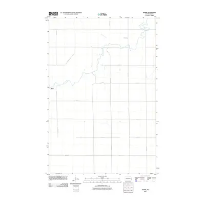
2011 Map of Barrie
USGS Topo · Published 2011About this map
The Sheyenne River meanders across this rural landscape, carving a winding path through the agricultural heart of Richland County. This topographic survey captures the area surrounding the small settlement of Barrie, where the local road network follows a strict sectional grid characteristic of the Great Plains. The map provides essential details for genealogists and local historians, specifically the location of Gol Cemetery situated along the eastern reaches of the river. The infrastructure is defined by a series of numbered section lines and rural routes, such as County Rd 3, which facilitate transport between the isolated farmsteads and fields that dominate this portion of North Dakota. The relationship between the natural hydrology of the river and the precise human-imposed grid of the township reflects the enduring character of this farming region.
Find a feature on this map
16 named features on this map. Tap any name to fly to it.
Don’t see what you’re looking for? This feature index may not catch every label — zoom into the map to look around manually.
Map Details
Editions of this 2011 Barrie Map
This is the sole edition of this map. No revisions or reprints were ever made.
Other maps of this area

1895 · Fargo
USGS Topo · 1:125,000

1895 · Casselton
USGS Topo · 1:125,000

1897 · Fargo
USGS Topo · 1:125,000

1897 · Casselton
USGS Topo · 1:125,000

1904 · Wahpeton
USGS Topo · 1:125,000

1907 · Wyndmere
USGS Topo · 1:125,000

1953 · Fargo
USGS Topo · 1:250,000

1956 · Fargo
USGS Topo · 1:250,000

1959 · Kindred
USGS Topo · 1:24,000

1959 · Leonard
USGS Topo · 1:24,000