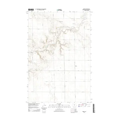
2014 Map of Barrie
USGS Topo · Published 2014About this map
The Sheyenne River cuts a deep, meandering path across this Richland County landscape, creating a distinct break in the otherwise steady agricultural grid. Near the western edge, the settlement of Barrie sits amidst a network of section-line roads, while the northern reaches include Odegaard Airport and the Gol Cem. The presence of private flight facilities like Bakko Airstrip and the regional connectivity provided by Co Road 3 and Cr-2 illustrate the modern infrastructure supporting this rural township. This survey preserves the exact alignment of rural routes such as 160th Ave SE and 57th St SE, which define the local landscape and property boundaries in this section of the Red River Valley hinterlands.
Find a feature on this map
21 named features on this map. Tap any name to fly to it.
Don’t see what you’re looking for? This feature index may not catch every label — zoom into the map to look around manually.
Map Details
Editions of this 2014 Barrie Map
This is the sole edition of this map. No revisions or reprints were ever made.
Other maps of this area

1895 · Fargo
USGS Topo · 1:125,000

1895 · Casselton
USGS Topo · 1:125,000

1897 · Fargo
USGS Topo · 1:125,000

1897 · Casselton
USGS Topo · 1:125,000

1904 · Wahpeton
USGS Topo · 1:125,000

1907 · Wyndmere
USGS Topo · 1:125,000

1953 · Fargo
USGS Topo · 1:250,000

1956 · Fargo
USGS Topo · 1:250,000

1959 · Kindred
USGS Topo · 1:24,000

1959 · Leonard
USGS Topo · 1:24,000