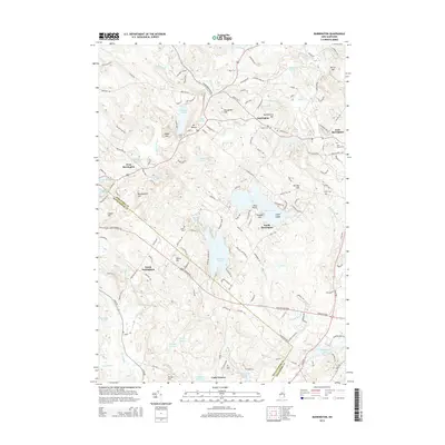
2015 Map of Barrington
USGS Topo · Published 2015About this map
Barrington and its outlying villages are defined by a complex network of waterways and granite-crested hills in this modern topographic study. The landscape is characterized by prominent glacial features such as Mt Misery, Bumfagging Hill, and Merry Hill, interspersed with substantial water bodies like Swains Lake and Mendums Pond. Significant historical and genealogical markers are preserved across the quadrangle, including the Clark Cem, Pine Grove Cem, and Locke Cem, offering precise locations for researchers tracing early Strafford County families. The settlement pattern remains largely rural, concentrated around West Barrington, South Barrington, and East Barrington, while the Isinglass River and North River dictate the regional drainage toward the coast. The map also delineates the Strafford and Rockingham County line as it passes through North Nottingham.
Find a feature on this map
160 named features on this map. Tap any name to fly to it.
Don’t see what you’re looking for? This feature index may not catch every label — zoom into the map to look around manually.
Map Details
Editions of this 2015 Barrington Map
This is the sole edition of this map. No revisions or reprints were ever made.
Other maps of this area

1891 · Berwick
USGS Topo · 1:62,500

1893 · Dover
USGS Topo · 1:62,500

1893 · Berwick
USGS Topo · 1:62,500

1916 · Dover
USGS Topo · 1:62,500

1917 · Mt. Pawtuckaway
USGS Topo · 1:62,500

1918 · Dover
USGS Topo · 1:62,500

1919 · Mt. Pawtuckaway
USGS Topo · 1:62,500

1919 · Alton
USGS Topo · 1:62,500

1933 · Berwick
USGS Topo · 1:48,000

1937 · Berwick
USGS Topo · 1:62,500