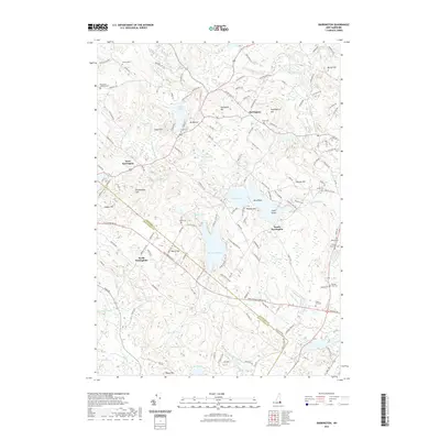
2021 Map of Barrington
USGS Topo · Published 2021About this map
Barrington and its neighboring villages serve as the central focus of this landscape, where the Isinglass River and Bellamy River systems weave through a terrain defined by numerous hills and glacial water bodies. The settlement pattern is largely influenced by the presence of large reservoirs and natural ponds, such as Swains Lake and the expansive Mendums Pond. These waters are surrounded by significant topographical features, including Nippo Hill and the curiously named Bumfagging Hill. For those researching local families, the map provides precise locations for many small burial grounds, such as Hanson Cem, Capon Cem, and the George Clay Cem. The boundaries between Strafford and Rockingham counties are clearly delineated, intersecting near North Nottingham and along Old Turnpike Rd.
Find a feature on this map
143 named features on this map. Tap any name to fly to it.
Don’t see what you’re looking for? This feature index may not catch every label — zoom into the map to look around manually.
Map Details
Editions of this 2021 Barrington Map
This is the sole edition of this map. No revisions or reprints were ever made.
Other maps of this area

1891 · Berwick
USGS Topo · 1:62,500

1893 · Dover
USGS Topo · 1:62,500

1893 · Berwick
USGS Topo · 1:62,500

1916 · Dover
USGS Topo · 1:62,500

1917 · Mt. Pawtuckaway
USGS Topo · 1:62,500

1918 · Dover
USGS Topo · 1:62,500

1919 · Mt. Pawtuckaway
USGS Topo · 1:62,500

1919 · Alton
USGS Topo · 1:62,500

1933 · Berwick
USGS Topo · 1:48,000

1937 · Berwick
USGS Topo · 1:62,500