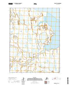
2020 Map of Barrow A-3 NW
USGS Topo · Published 2020About this map
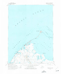
Lake Tusikvoak anchors the southern expanse of this Arctic coastal landscape, where the flat tundra of the North Slope meets the complex inlet systems of the Beaufort Sea. The terrain is defined by a dense network of thaw lakes and wetlands, characteristic of the permafrost-underlain coastal plain. Moving north, the meandering Avak Creek feeds into the sheltered waters of Avak Bay, which is protected from the open sea by narrow landforms including Scott Point. To the east, the map reveals the western reaches of Iko Bay, illustrating a shoreline in constant flux. This 2020 survey provides a detailed look at the hydrographic patterns of the region, showing how these vital water bodies and coastal features shape the remote Alaskan environment within the North Slope Borough.
Find a feature on this map
10 named features on this map. Tap any name to fly to it.
Don’t see what you’re looking for? This feature index may not catch every label — zoom into the map to look around manually.
Map Details
Editions of this 2020 Barrow A-3 NW Map
This is the sole edition of this map. No revisions or reprints were ever made.
Other maps of this area

1945 · Barrow
USGS Topo · 1:250,000

1949 · Barrow
USGS Topo · 1:250,000

1955 · Barrow
USGS Topo · 1:250,000

1955 · Barrow B-4
USGS Topo · 1:63,360

1955 · Barrow A-4
USGS Topo · 1:63,360

1955 · Barrow A-3
USGS Topo · 1:63,360
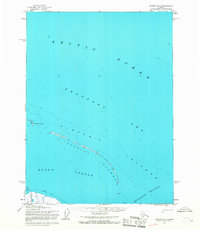
1955 · Barrow B-3
USGS Topo · 1:63,360
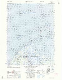
1962 · Barrow B-4
USGS Topo · 1:50,000
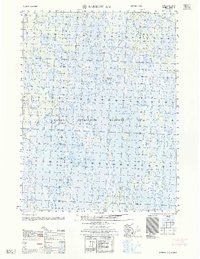
1962 · Barrow A-4
USGS Topo · 1:50,000
1973 · Barrow B-4
USGS Topo · 1:63,360