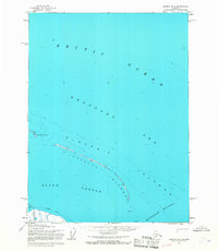
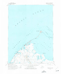
1955 Map of Barrow B-3
USGS Topo · Published 1967About this map
Elson Lagoon and the barrier landforms of the Plover Islands define this remote coastal stretch of the North Slope during the mid-1950s. The geography is characterized by the narrow Tapkaluk Islands, which separate the lagoon from the open waters of the Beaufort Sea and Arctic Ocean. This region, entirely contained within Naval Petroleum Reserve No. 4, illustrates the extreme arctic coastline before modern industrial shifts, showing a landscape shaped by seasonal ice and maritime passage.
Find a feature on this map
9 named features on this map. Tap any name to fly to it.
Don’t see what you’re looking for? This feature index may not catch every label — zoom into the map to look around manually.
Map Details
Editions of this 1955 Barrow B-3 Map
2 editions found
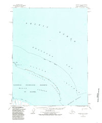
Other maps of this area

1945 · Barrow
USGS Topo · 1:250,000

1949 · Barrow
USGS Topo · 1:250,000

1955 · Barrow A-2
USGS Topo · 1:63,360

1955 · Barrow
USGS Topo · 1:250,000

1955 · Barrow B-4
USGS Topo · 1:63,360

1955 · Barrow A-4
USGS Topo · 1:63,360

1955 · Barrow A-3
USGS Topo · 1:63,360
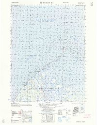
1962 · Barrow B-4
USGS Topo · 1:50,000
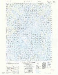
1962 · Barrow A-4
USGS Topo · 1:50,000
1973 · Barrow B-4
USGS Topo · 1:63,360