
1955 Map of Barrow A-2
USGS Topo · Published 1959About this map
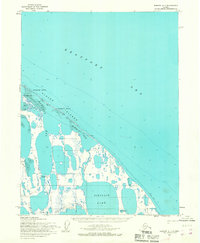
The Plover Islands form a protective barrier between the open Beaufort Sea and the shallow waters of Elson Lagoon along Alaska's northernmost coast. This mid-1950s survey documents a landscape of intricate coastal geometry, where the massive expanse of Dease Inlet meets a complex network of tundra lakes, including the prominent Reindeer Lake.
Find a feature on this map
16 named features on this map. Tap any name to fly to it.
Don’t see what you’re looking for? This feature index may not catch every label — zoom into the map to look around manually.
Map Details
Editions of this 1955 Barrow A-2 Map
This is the sole edition of this map. No revisions or reprints were ever made.
Other maps of this area

1945 · Barrow
USGS Topo · 1:250,000

1949 · Barrow
USGS Topo · 1:250,000

1951 · Teshekpuk
USGS Topo · 1:250,000

1955 · Barrow
USGS Topo · 1:250,000

1955 · Teshekpuk
USGS Topo · 1:250,000

1955 · Barrow A-3
USGS Topo · 1:63,360
1955 · Barrow A-1
USGS Topo · 1:63,360
1955 · Barrow B-3
USGS Topo · 1:63,360
1955 · Teshekpuk D-5
USGS Topo · 1:63,360

1955 · Teshekpuk D-4
USGS Topo · 1:63,360