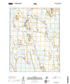
2020 Map of Barrow A-4 NE
USGS Topo · Published 2020About this map
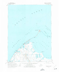
The low-lying Arctic coastal plain dominates this landscape, defined by an intricate network of thaw lakes and drainages in the North Slope Borough. Large water bodies such as Sivulik Lake and Lake Sungovoak characterize the interior, surrounded by thousands of unnamed smaller ponds and saturated wetlands. These lacustrine features are a primary element of the regional hydrology, with the Mayorak River and Avak Cr providing the few defined drainage channels through the flat terrain. Human infrastructure is nearly absent in this remote reach, save for Eastfield Road which skirts the northeastern corner. The map primarily documents the natural hydrographic patterns and the Public Land Survey System boundaries, including t21n r17w and t22n r18w, reflecting the vast, undeveloped character of the Alaskan tundra in the early 21st century.
Find a feature on this map
10 named features on this map. Tap any name to fly to it.
Don’t see what you’re looking for? This feature index may not catch every label — zoom into the map to look around manually.
Map Details
Editions of this 2020 Barrow A-4 NE Map
This is the sole edition of this map. No revisions or reprints were ever made.
Other maps of this area

1945 · Barrow
USGS Topo · 1:250,000

1949 · Barrow
USGS Topo · 1:250,000

1955 · Barrow
USGS Topo · 1:250,000

1955 · Barrow B-4
USGS Topo · 1:63,360

1955 · Barrow A-4
USGS Topo · 1:63,360

1955 · Barrow A-3
USGS Topo · 1:63,360
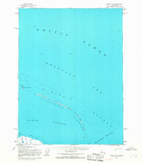
1955 · Barrow B-3
USGS Topo · 1:63,360
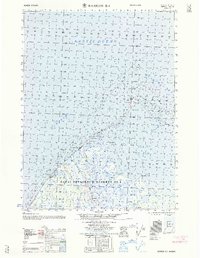
1962 · Barrow B-4
USGS Topo · 1:50,000
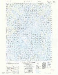
1962 · Barrow A-4
USGS Topo · 1:50,000
1973 · Barrow B-4
USGS Topo · 1:63,360