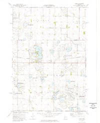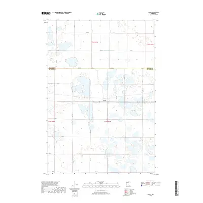
2022 Map of Barry
USGS Topo · Published 2022About this map
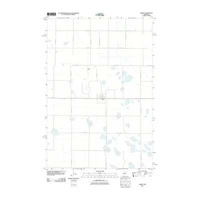
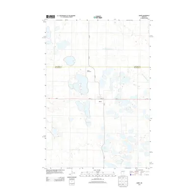
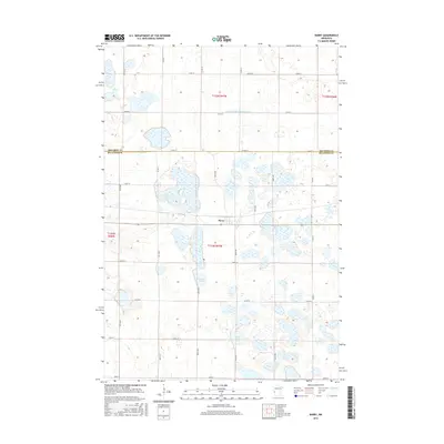
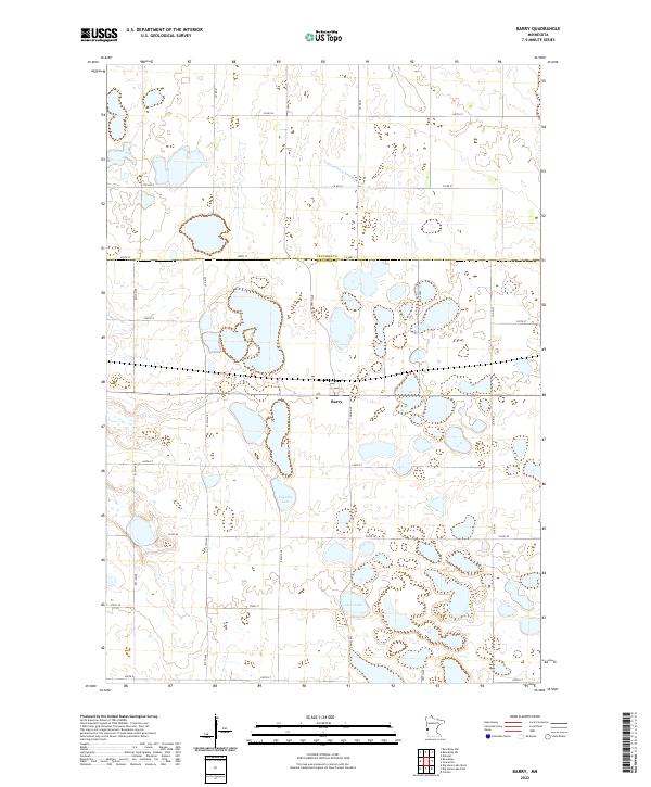
Barry serves as the central hub of this prairie landscape, situated exactly on the county line dividing Traverse Co and Big Stone Co. The surrounding terrain is defined by a complex network of wetlands and seasonal basins, notably Fogarty Lake and Clear Lake. Human management of the water table is evident through engineered features like Judicial Ditch Number Four, which cuts across the northern townships. A rigid grid of gravel roads, including 800th Ave and 250th St, provides access to the dispersed agricultural plots that characterize this corner of western Minnesota. The map illustrates the persistent intersection of natural drainage patterns with the formal boundaries of the Public Land Survey System, specifically within townships t125n r47w and t124n r47w.
Find a feature on this map
28 named features on this map. Tap any name to fly to it.
Don’t see what you’re looking for? This feature index may not catch every label — zoom into the map to look around manually.
Map Details
Editions of this 2022 Barry Map
This is the sole edition of this map. No revisions or reprints were ever made.
Historical Maps of Barry Through Time
6 maps found