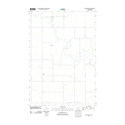
2011 Map of Barths Butte
USGS Topo · Published 2011About this map
Cedar Valley Cemetery sits in the northern reaches of this Adams County landscape, positioned near the winding path of Cedar Creek. The terrain is defined by prominent elevations such as Barths Butte and Twin Buttes, which rise above the surrounding prairie. This 2011 survey captures the rural character of the region, where a strictly rectangular grid of section-line roads, including 9th Ave NE and 14th St NE, facilitates movement across the open plains. In the southern portion of the quadrangle, Duck Creek and North Lemmon Lake Rd highlight the sparse but deliberate integration of infrastructure with natural watercourses. The map reflects a modern era of land management in North Dakota, where large-scale agriculture and ranching dictate the layout of the land, leaving quiet landmarks like the cemetery to serve as the primary records of local heritage.
Find a feature on this map
21 named features on this map. Tap any name to fly to it.
Don’t see what you’re looking for? This feature index may not catch every label — zoom into the map to look around manually.
Map Details
Editions of this 2011 Barths Butte Map
This is the sole edition of this map. No revisions or reprints were ever made.
Other maps of this area

1953 · Dickinson
USGS Topo · 1:250,000

1954 · Lemmon
USGS Topo · 1:250,000

1957 · Dickinson
USGS Topo · 1:250,000

1957 · Lemmon
USGS Topo · 1:250,000

1974 · Pearl Butte NW
USGS Topo · 1:24,000

1974 · Cedar Butte
USGS Topo · 1:24,000

1974 · Long Butte
USGS Topo · 1:24,000

1974 · White Butte
USGS Topo · 1:24,000

1974 · Lemmon
USGS Topo · 1:24,000

1974 · Haynes
USGS Topo · 1:24,000