
1974 Map of Haynes
USGS Topo · Published 1978About this map
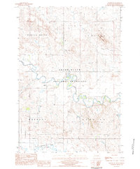
Haynes stands at the center of this 1970s landscape, positioned along the Chicago Milwaukee St Paul and Pacific railroad line. The map documents a rural transition zone where the northern edge of the White Butte and Castle Butte formations rise from the plains. While agriculture and the rail line dominate the topography near the Haynes Cem, industrial activity is evident to the north at the Strip Mine.
Find a feature on this map
16 named features on this map. Tap any name to fly to it.
Don’t see what you’re looking for? This feature index may not catch every label — zoom into the map to look around manually.
Map Details
Editions of this 1974 Haynes Map
This is the sole edition of this map. No revisions or reprints were ever made.
Other maps of this area

1953 · Dickinson
USGS Topo · 1:250,000

1954 · Lemmon
USGS Topo · 1:250,000

1957 · Dickinson
USGS Topo · 1:250,000

1957 · Lemmon
USGS Topo · 1:250,000

1974 · White Butte
USGS Topo · 1:24,000

1974 · Kid Rich Butte
USGS Topo · 1:24,000

1980 · Mott
USGS Topo · 1:100,000

1983 · Lodgepole SE
USGS Topo · 1:24,000

1983 · Haynes SE
USGS Topo · 1:24,000
1983 · Haynes SW
USGS Topo · 1:24,000