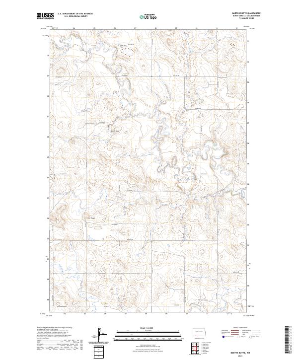
2024 Map of Barths Butte
USGS Topo · Published 2024About this map
Barths Butte and the Twin Buttes rise above the rolling landscape of Adams County, where the upper reaches of Cedar Creek and Duck Creek define the local drainage patterns. This recent topographical survey illustrates the grid-based rural development of North Dakota, where numeric road designations like 9th Ave NE and 147th St NE partition the vast open sections. For local historians and genealogists, the Cedar Valley Cem serves as a primary cultural landmark, anchoring the map's northern boundary within T131N R93W. The landscape is primarily defined by its agricultural layout and intermittent watercourses, showing the enduring structure of the Public Land Survey System.
Find a feature on this map
25 named features on this map. Tap any name to fly to it.
Don’t see what you’re looking for? This feature index may not catch every label — zoom into the map to look around manually.
Map Details
Editions of this 2024 Barths Butte Map
This is the sole edition of this map. No revisions or reprints were ever made.
Other maps of this area

1953 · Dickinson
USGS Topo · 1:250,000

1954 · Lemmon
USGS Topo · 1:250,000

1957 · Dickinson
USGS Topo · 1:250,000

1957 · Lemmon
USGS Topo · 1:250,000

1974 · Pearl Butte NW
USGS Topo · 1:24,000

1974 · Cedar Butte
USGS Topo · 1:24,000

1974 · Long Butte
USGS Topo · 1:24,000

1974 · White Butte
USGS Topo · 1:24,000

1974 · Lemmon
USGS Topo · 1:24,000

1974 · Haynes
USGS Topo · 1:24,000