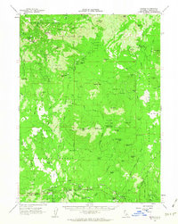
1961 Map of Bartle
USGS Topo · Published 1963About this map
The Mc Cloud River RR winds through the southern timberlands of the Shasta National Forest, serving as a vital industrial artery for the logging communities of Bartle, Algoma, and Kinyon. This 1961 survey captures the region's specialized forest management infrastructure, including the Mt Shasta Nursery, the Pilgrim Creek Experimental Station, and the Black Fox Mtn Lookout. The landscape is defined by volcanic features like Asperin Butte and Nine Buck Butte, with water resources managed through sites such as the Ash Creek Sink and numerous developed springs.
Find a feature on this map
87 named features on this map. Tap any name to fly to it.
Don’t see what you’re looking for? This feature index may not catch every label — zoom into the map to look around manually.
Map Details
Editions of this 1961 Bartle Map
2 editions found
Other maps of this area

1886 · Modoc Lava Bed
USGS Topo · 1:250,000

1886 · Shasta
USGS Topo · 1:250,000

1892 · Modoc Lava-Bed
USGS Topo · 1:250,000

1894 · Shasta
USGS Topo · 1:250,000
1932 · Bartle
USGS Topo · 1:96,000
1934 · Macdoel
USGS Topo · 1:96,000
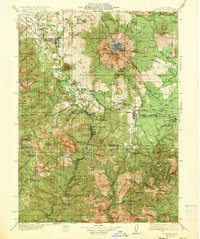
1935 · Dunsmuir
USGS Topo · 1:125,000
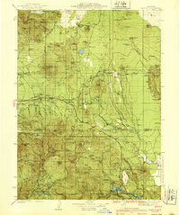
1939 · Bartle
USGS Topo · 1:125,000
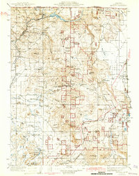
1941 · Macdoel
USGS Topo · 1:125,000

1948 · Weed
USGS Topo · 1:250,000