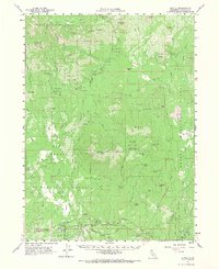
1961 Map of Bartle
USGS Topo · Published 1968About this map
The McCloud River RR tracks follow the southern edge of this Siskiyou County landscape, connecting the small settlements of Bartle, Kinyon, and Algoma during the early 1960s. This territory is heavily shaped by the operations of the Shasta National Forest and Klamath National Forest, featuring specialized sites like the Pilgrim Creek Experimental Station and the Mt Shasta Nursery. The mapping reveals a detailed network of infrastructure for forest management, including a Snow Survey Cabin at Cabin Butte and several lookouts and stations.
Find a feature on this map
85 named features on this map. Tap any name to fly to it.
Don’t see what you’re looking for? This feature index may not catch every label — zoom into the map to look around manually.
Map Details
Editions of this 1961 Bartle Map
2 editions found

Other maps of this area

1886 · Modoc Lava Bed
USGS Topo · 1:250,000

1886 · Shasta
USGS Topo · 1:250,000

1892 · Modoc Lava-Bed
USGS Topo · 1:250,000

1894 · Shasta
USGS Topo · 1:250,000

1932 · Bartle
USGS Topo · 1:96,000

1934 · Macdoel
USGS Topo · 1:96,000

1935 · Dunsmuir
USGS Topo · 1:125,000

1939 · Bartle
USGS Topo · 1:125,000

1941 · Macdoel
USGS Topo · 1:125,000

1948 · Weed
USGS Topo · 1:250,000