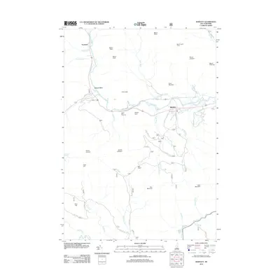
2012 Map of Bartlett
USGS Topo · Published 2012About this map
The Saco River valley carves through the center of this mountain landscape, anchoring the settlement of Bartlett and the smaller outpost of Notchland. This 2012 survey illustrates a landscape defined by significant elevation changes and high-altitude shelters, such as the Mount Langdon Shelter located north of the village. The drainage network is complex, with numerous mountain brooks like Nancy Brook and Razor Brook feeding into the Saco, while the southern portion of the map is dominated by the Swift River and the isolated Falls Pond.
Find a feature on this map
56 named features on this map. Tap any name to fly to it.
Don’t see what you’re looking for? This feature index may not catch every label — zoom into the map to look around manually.
Map Details
Editions of this 2012 Bartlett Map
This is the sole edition of this map. No revisions or reprints were ever made.
Other maps of this area

1894 · North Conway
USGS Topo · 1:62,500

1895 · Crawford Notch
USGS Topo · 1:62,500

1896 · Crawford Notch
USGS Topo · 1:62,500

1896 · North Conway
USGS Topo · 1:62,500

1930 · Ossipee Lake
USGS Topo · 1:62,500

1931 · Mt. Chocorua
USGS Topo · 1:62,500

1942 · North Conway
USGS Topo · 1:62,500

1945 · North Conway
USGS Topo · 1:62,500

1946 · Crawford Notch
USGS Topo · 1:62,500

1949 · Portland
USGS Topo · 1:250,000