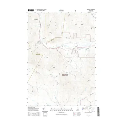
2015 Map of Bartlett
USGS Topo · Published 2015About this map
The Saco River valley carves through this portion of the White Mountain National Forest, serving as the primary corridor for the Crawford Notch Rd and the settlement at Bartlett. This landscape is defined by its significant relief, featuring prominent peaks such as Mt Tremont and Mt Parker. To the north, Notchland and Sawyers River mark historical points along the rail and road route through the mountains. The map details a complex network of forest drainage, where Nancy Brook and Stony Brook feed the larger river system. To the south, the Swift River drainage includes secluded water bodies like Falls Pond and Church Pond. The inclusion of various logging roads, such as Logging Rd and Bear Mountain Rd, indicates the ongoing intersection of conservation, recreation, and local timber history in this Carroll County highland.
Find a feature on this map
65 named features on this map. Tap any name to fly to it.
Don’t see what you’re looking for? This feature index may not catch every label — zoom into the map to look around manually.
Map Details
Editions of this 2015 Bartlett Map
This is the sole edition of this map. No revisions or reprints were ever made.
Other maps of this area

1894 · North Conway
USGS Topo · 1:62,500

1895 · Crawford Notch
USGS Topo · 1:62,500

1896 · Crawford Notch
USGS Topo · 1:62,500

1896 · North Conway
USGS Topo · 1:62,500

1930 · Ossipee Lake
USGS Topo · 1:62,500

1931 · Mt. Chocorua
USGS Topo · 1:62,500

1942 · North Conway
USGS Topo · 1:62,500

1945 · North Conway
USGS Topo · 1:62,500

1946 · Crawford Notch
USGS Topo · 1:62,500

1949 · Portland
USGS Topo · 1:250,000