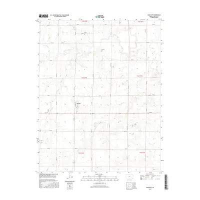
2015 Map of Bartlett
USGS Topo · Published 2015About this map
The town of Bartlett sits at the heart of this agricultural landscape in southeastern Kansas, organized by a precise grid of rural roads and section lines. The terrain is defined by the winding paths of several waterways, including Hackberry Creek and Turkey Cr, which break the geometric layout of the surrounding farmland. Historically significant sites for genealogists are well-represented by several family-named burial grounds, such as Phillips Cem to the north and Cecil Cem near the western edge. Notable landmarks like Big Hill provide relief to the gently undulating plains, while the town itself remains concentrated around the junction of Hackberry St and Walnut St. This modern survey reflects the enduring rural character of Labette County, where the creek valleys and cemeteries remain the primary anchors of local history.
Find a feature on this map
42 named features on this map. Tap any name to fly to it.
Don’t see what you’re looking for? This feature index may not catch every label — zoom into the map to look around manually.
Map Details
Editions of this 2015 Bartlett Map
This is the sole edition of this map. No revisions or reprints were ever made.
Other maps of this area

1886 · Parsons
USGS Topo · 1:125,000

1893 · Parsons
USGS Topo · 1:125,000

1901 · Vinita
USGS Topo · 1:125,000

1913 · Vinita
USGS Topo · 1:125,000

1944 · Oswego
USGS Topo · 1:62,500

1946 · Oswego
USGS Topo · 1:48,000

1946 · Mound Valley
USGS Topo · 1:62,500

1947 · Joplin
USGS Topo · 1:250,000
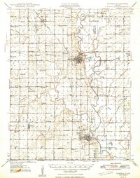
1948 · Oswego
USGS Topo · 1:62,500
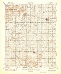
1948 · Mound Valley
USGS Topo · 1:62,500