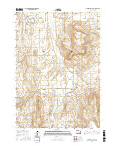
2017 Map of Bartlett Mountain
USGS Topo · Published 2017About this map
Bartlett Mountain rises as the central landmark in this high-desert region of Harney County, where water sources dictate the movement and settlement of the land. The drainage of Stinkingwater Creek and its tributaries, including McMullen Cr and Clear Cr, weave through the landscape, supporting a series of man-made and natural water features. The presence of North Beede Reservoir, South Beede Reservoir, and Plateau Reservoir suggests a legacy of ranching and water management in this arid environment.
Find a feature on this map
24 named features on this map. Tap any name to fly to it.
Don’t see what you’re looking for? This feature index may not catch every label — zoom into the map to look around manually.
Map Details
Editions of this 2017 Bartlett Mountain Map
This is the sole edition of this map. No revisions or reprints were ever made.
Other maps of this area

1955 · Burns
USGS Topo · 1:250,000

1958 · Burns
USGS Topo · 1:250,000

1959 · Burns
USGS Topo · 1:250,000

1968 · Drewsey
USGS Topo · 1:62,500

1968 · Van
USGS Topo · 1:62,500
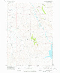
1973 · Upton Mountain
USGS Topo · 1:24,000

1973 · Mahon Creek
USGS Topo · 1:24,000
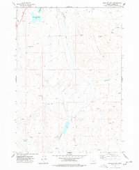
1977 · Bartlett Mtn
USGS Topo · 1:24,000
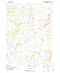
1978 · Stinkingwater Pass
USGS Topo · 1:24,000

1978 · Stinkingwater Mountains
USGS Topo · 1:100,000