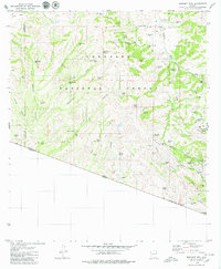
1979 Map of Bartlett Mtn
USGS Topo · Published 1979About this map
The mining landscape of the Coronado National Forest along the Arizona-Sonora border is deeply etched with the history of the Oro Blanco District. In the late 1970s, this area remained defined by a dense concentration of hard-rock claims and early 20th-century legacy sites. Notable operations like the Yellow Jacket Mine, Austerlitz Mine, and Warsaw Mine are interspersed with family-named ranches such as Oro Blanco Ranch and Tres Bellotas Ranch. The map reveals the social infrastructure of these remote camps through features like El Oro Cem and the Saint Christopher Mine. Steep drainages like Warsaw Canyon and Old Glory Canyon channeled the region's limited water into essential storage points such as Old Glory Spring and Warsaw Tank. This rugged borderland topography, marked by Cobre Ridge and Bartlett Mtn, illustrates the persistent efforts of prospectors to extract mineral wealth from the arid slopes above the United States Mexico boundary.
Find a feature on this map
79 named features on this map. Tap any name to fly to it.
Don’t see what you’re looking for? This feature index may not catch every label — zoom into the map to look around manually.
Map Details
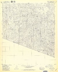
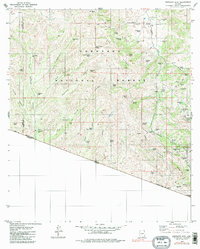
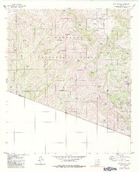
Editions of this 1979 Bartlett Mtn Map
4 editions found
Other maps of this area

1920 · Arivaca
USGS Topo · 1:125,000

1921 · Old Glory
USGS Topo · 1:125,000

1939 · Tubac
USGS Topo · 1:62,500

1941 · Arivaca
USGS Topo · 1:62,500

1942 · Ruby
USGS Topo · 1:62,500

1942 · Oro Blanco
USGS Topo · 1:62,500

1943 · Arivaca
USGS Topo · 1:62,500

1943 · Old Glory
USGS Topo · 1:125,000

1943 · Tubac
USGS Topo · 1:62,500

1944 · Oro Blanco
USGS Topo · 1:62,500