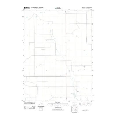
2011 Map of Bartlett SE
USGS Topo · Published 2011About this map
Clear Creek meanders through the central plains of Wheeler County, tracing a path toward the southern edge of this landscape where water management and local heritage intersect. The presence of Pibel Lake, formed by the Pibel Dam, highlights the area's development for recreation and local utility. This corner of the Sandhills region maintains a sparse, agricultural character, punctuated by landmarks like the Pibel Cemetery, which serves as a quiet record of the families who settled this part of Nebraska. In the extreme southwest corner, the Cedar River briefly enters the frame, marking a transition in the local drainage system. The map reflects a modern rural environment where historic land use patterns, centered on accessible water sources, continue to define the geography.
Find a feature on this map
5 named features on this map. Tap any name to fly to it.
Don’t see what you’re looking for? This feature index may not catch every label — zoom into the map to look around manually.
Map Details
Editions of this 2011 Bartlett SE Map
This is the sole edition of this map. No revisions or reprints were ever made.
Other maps of this area

1954 · Greeley NE
USGS Topo · 1:24,000

1954 · Greeley NW
USGS Topo · 1:24,000

1954 · Bartlett NW
USGS Topo · 1:24,000

1954 · Spalding NW
USGS Topo · 1:24,000

1954 · Bartlett SE
USGS Topo · 1:24,000

1954 · Bartlett
USGS Topo · 1:24,000

1954 · Ericson
USGS Topo · 1:24,000

1955 · Broken Bow
USGS Topo · 1:250,000

1956 · Broken Bow
USGS Topo · 1:250,000

1960 · Spalding 2 SW
USGS Topo · 1:24,000