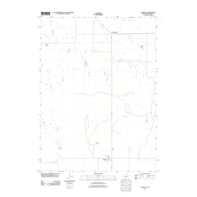
2011 Map of Bartlett
USGS Topo · Published 2011About this map
Bartlett serves as a primary settlement point in this Wheeler County landscape, situated along the intersection of Randolph St and 3rd St. The community is anchored by the Bartlett Post Office and the nearby Bartlett Cemetery, providing specific points of interest for genealogists and local historians tracking family roots in the Nebraska sandhills. To the north, the small settlement of Cumminsville sits near the banks of Beaver Creek, which winds eastward through the territory.
Find a feature on this map
9 named features on this map. Tap any name to fly to it.
Don’t see what you’re looking for? This feature index may not catch every label — zoom into the map to look around manually.
Map Details
Editions of this 2011 Bartlett Map
This is the sole edition of this map. No revisions or reprints were ever made.
Other maps of this area

1954 · Bartlett NW
USGS Topo · 1:24,000

1954 · Bartlett SE
USGS Topo · 1:24,000

1954 · Bartlett
USGS Topo · 1:24,000

1954 · Ericson
USGS Topo · 1:24,000

1955 · Broken Bow
USGS Topo · 1:250,000

1955 · O'Neill
USGS Topo · 1:250,000

1956 · Broken Bow
USGS Topo · 1:250,000

1959 · O'Neill
USGS Topo · 1:250,000

1960 · Spalding 2 SW
USGS Topo · 1:24,000

1960 · Spalding 2 NW
USGS Topo · 1:24,000