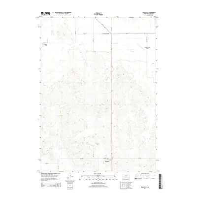
2014 Map of Bartlett
USGS Topo · Published 2014About this map
Bartlett stands at the intersection of Us-281 and 832nd RD in the Sandhills of Wheeler County, serving as a primary point of settlement in this agricultural landscape. To the north, the small community of Cumminsville sits near the crossing of Ne-70 and the highway, while Buffalo Flats and the winding course of Beaver Cr define the western terrain. The area's ranching heritage is evidenced by the Landgren Ranch Airport and the network of section-line roads like Stone House Ave and 495th Ave that grid the prairie.
Find a feature on this map
18 named features on this map. Tap any name to fly to it.
Don’t see what you’re looking for? This feature index may not catch every label — zoom into the map to look around manually.
Map Details
Editions of this 2014 Bartlett Map
This is the sole edition of this map. No revisions or reprints were ever made.
Other maps of this area

1954 · Bartlett NW
USGS Topo · 1:24,000

1954 · Bartlett SE
USGS Topo · 1:24,000

1954 · Bartlett
USGS Topo · 1:24,000

1954 · Ericson
USGS Topo · 1:24,000

1955 · Broken Bow
USGS Topo · 1:250,000

1955 · O'Neill
USGS Topo · 1:250,000

1956 · Broken Bow
USGS Topo · 1:250,000

1959 · O'Neill
USGS Topo · 1:250,000

1960 · Spalding 2 SW
USGS Topo · 1:24,000

1960 · Spalding 2 NW
USGS Topo · 1:24,000