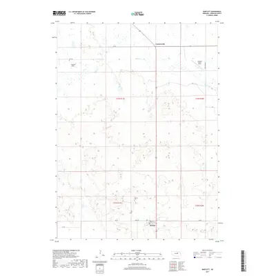
2017 Map of Bartlett
USGS Topo · Published 2017About this map
Bartlett stands as the central settlement in this portion of Wheeler County, situated where local routes like 832nd Rd and Main St converge. The landscape north of town is defined by the sweeping expanse of Buffalo Flats and the meandering course of Beaver Cr, which cuts across the northern tiers of the survey. To the north, the small community of Cumminsville marks a notable point of reference along the highway.
Find a feature on this map
16 named features on this map. Tap any name to fly to it.
Don’t see what you’re looking for? This feature index may not catch every label — zoom into the map to look around manually.
Map Details
Editions of this 2017 Bartlett Map
This is the sole edition of this map. No revisions or reprints were ever made.
Other maps of this area

1954 · Bartlett NW
USGS Topo · 1:24,000

1954 · Bartlett SE
USGS Topo · 1:24,000

1954 · Bartlett
USGS Topo · 1:24,000

1954 · Ericson
USGS Topo · 1:24,000

1955 · Broken Bow
USGS Topo · 1:250,000

1955 · O'Neill
USGS Topo · 1:250,000

1956 · Broken Bow
USGS Topo · 1:250,000

1959 · O'Neill
USGS Topo · 1:250,000

1960 · Spalding 2 SW
USGS Topo · 1:24,000

1960 · Spalding 2 NW
USGS Topo · 1:24,000