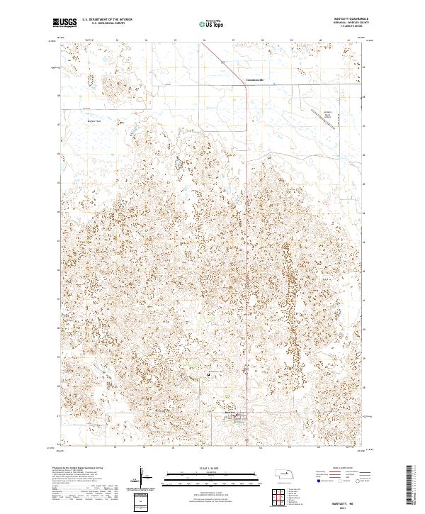
2021 Map of Bartlett
USGS Topo · Published 2021About this map
Bartlett serves as the focal point of this Wheeler County landscape, featuring the Wheeler County Courthouse near the intersection of Main St and Commercial St. The settlement pattern reflects the open ranching country of central Nebraska, with sparse developments like the Landgren Ranch Airport and the smaller locality of Cumminsville to the north. Local history is anchored at the Bartlett Cem, while the natural geography is defined by the intermittent drainage of Beaver Cr and the low-lying Buffalo Flats. A grid of section roads, including Stone House Ave and 832 Rd, provides a structured view of the township and range system that organized this part of the Great Plains.
Find a feature on this map
19 named features on this map. Tap any name to fly to it.
Don’t see what you’re looking for? This feature index may not catch every label — zoom into the map to look around manually.
Map Details
Editions of this 2021 Bartlett Map
This is the sole edition of this map. No revisions or reprints were ever made.
Other maps of this area

1954 · Bartlett NW
USGS Topo · 1:24,000

1954 · Bartlett SE
USGS Topo · 1:24,000

1954 · Bartlett
USGS Topo · 1:24,000

1954 · Ericson
USGS Topo · 1:24,000

1955 · Broken Bow
USGS Topo · 1:250,000

1955 · O'Neill
USGS Topo · 1:250,000

1956 · Broken Bow
USGS Topo · 1:250,000

1959 · O'Neill
USGS Topo · 1:250,000

1960 · Spalding 2 SW
USGS Topo · 1:24,000

1960 · Spalding 2 NW
USGS Topo · 1:24,000