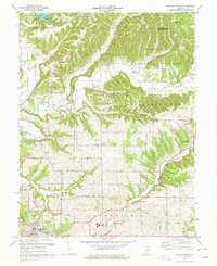
1978 Map of Bartlettsville
USGS Topo · Published 1979About this map
Bartlettsville and its surrounding hill country are depicted here in the late 1970s, showing a landscape defined by the deep valleys of Salt Creek and Leatherwood Creek. The northern portion of the map is dominated by the Hoosier National Forest, specifically the Pleasant Run unit, where narrow ridges like Ramsey Ridge and Dutch Ridge rise above the drainage of the Monroe Reservoir. The map reveals a high density of rural cemeteries and country churches, such as Donica Memorial Ch and Hawkins Cem, which are essential for genealogical research in this part of Lawrence County.
Find a feature on this map
53 named features on this map. Tap any name to fly to it.
Don’t see what you’re looking for? This feature index may not catch every label — zoom into the map to look around manually.
Map Details
Editions of this 1978 Bartlettsville Map
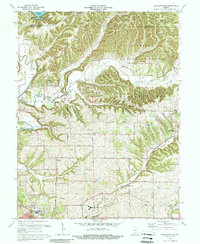
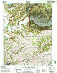
3 editions found
Other maps of this area

1908 · Bloomington
USGS Topo · 1:48,000

1910 · Bloomington
USGS Topo · 1:62,500

1934 · Bedford
USGS Topo · 1:48,000

1935 · Oolitic
USGS Topo · 1:48,000

1937 · Bedford
USGS Topo · 1:62,500

1942 · Franklin
USGS Topo · 1:125,000

1942 · Oolitic
USGS Topo · 1:62,500

1947 · Allens Creek
USGS Topo · 1:24,000

1947 · Elkinsville
USGS Topo · 1:24,000
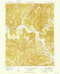
1950 · Elkinsville
USGS Topo · 1:24,000