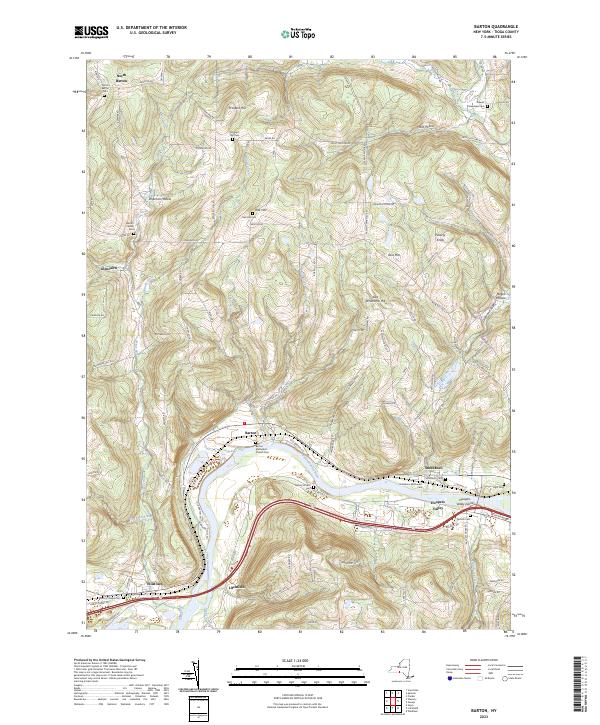
2023 Map of Barton
USGS Topo · Published 2023About this map
The Susquehanna River carves a deep valley through the Tioga County landscape, defining the primary corridor for settlement and transit between Barton and Smithboro. This modern survey reveals a dense network of upland hollows and ridges, where family-named landmarks like East Whitcomb Hill and Shipman Hollow rise above small tributaries such as Ellis Creek and Pipe Creek. The distribution of cemeteries across the terrain—including the Barton Center Cem and the remote Beaver Meadows Cem—points to a long history of rural homesteading and congregational life in the region.
Find a feature on this map
110 named features on this map. Tap any name to fly to it.
Don’t see what you’re looking for? This feature index may not catch every label — zoom into the map to look around manually.
Map Details
Editions of this 2023 Barton Map
This is the sole edition of this map. No revisions or reprints were ever made.
Other maps of this area

1902 · Waverly
USGS Topo · 1:62,500

1903 · Owego
USGS Topo · 1:62,500

1905 · Watkins Glen
USGS Topo · 1:125,000

1906 · Catatonk
USGS Topo · 1:125,000

1923 · Towanda
USGS Topo · 1:62,500

1926 · Towanda
USGS Topo · 1:62,500

1939 · Sayre
USGS Topo · 1:62,500

1942 · Sayre
USGS Topo · 1:62,500

1943 · Towanda
USGS Topo · 1:62,500

1948 · Sayre
USGS Topo · 1:62,500