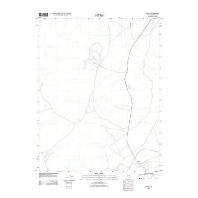
2011 Map of Basalt
USGS Topo · Published 2011About this map
Basalt anchors the southeastern corner of this high-desert landscape in the Great Basin. Located in Mineral County, the settlement is positioned near the junction of major transit routes that navigate the arid terrain. The map depicts a network of unpaved roads and trails branching out into the surrounding flats and hills, including the prominent Marietta Rd which extends toward the northern boundary. This 2011 survey by the U.S. Geological Survey illustrates the modern infrastructure and drainage patterns of a region where water and transport determine the location of development.
Find a feature on this map
2 named features on this map. Tap any name to fly to it.
Don’t see what you’re looking for? This feature index may not catch every label — zoom into the map to look around manually.
Map Details
Editions of this 2011 Basalt Map
This is the sole edition of this map. No revisions or reprints were ever made.
Other maps of this area

1909 · Hawthorne
USGS Topo · 1:250,000

1911 · Hawthorne
USGS Topo · 1:250,000

1915 · Hawthorne
USGS Topo · 1:250,000

1917 · White Mountain
USGS Topo · 1:125,000

1947 · Mariposa
USGS Topo · 1:250,000

1948 · Walker Lake
USGS Topo · 1:250,000

1948 · Mariposa
USGS Topo · 1:250,000

1957 · Walker Lake
USGS Topo · 1:250,000

1957 · Mariposa
USGS Topo · 1:250,000

1962 · Walker Lake
USGS Topo · 1:250,000