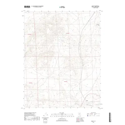
2018 Map of Basalt
USGS Topo · Published 2018About this map
Basalt stands as the primary namesake settlement in this arid corner of Mineral County, positioned at the edge of the Candelaria Hills. This 2018 survey documents the intricate drainage patterns and steep elevation changes that characterize the High Desert landscape of western Nevada. The map highlights the intersection of local infrastructure and public land management, where the high-altitude terrain is divided into the Public Land Survey System grids of t3n r32e, t3n r33e, t2n r32e, and t2n r33e. For researchers and historians, this edition provides a contemporary benchmark for identifying the sparse road networks and topographic landmarks that define the region's modern geography.
Find a feature on this map
6 named features on this map. Tap any name to fly to it.
Don’t see what you’re looking for? This feature index may not catch every label — zoom into the map to look around manually.
Map Details
Editions of this 2018 Basalt Map
This is the sole edition of this map. No revisions or reprints were ever made.
Other maps of this area

1909 · Hawthorne
USGS Topo · 1:250,000

1911 · Hawthorne
USGS Topo · 1:250,000

1915 · Hawthorne
USGS Topo · 1:250,000

1917 · White Mountain
USGS Topo · 1:125,000

1947 · Mariposa
USGS Topo · 1:250,000

1948 · Walker Lake
USGS Topo · 1:250,000

1948 · Mariposa
USGS Topo · 1:250,000

1957 · Walker Lake
USGS Topo · 1:250,000

1957 · Mariposa
USGS Topo · 1:250,000

1962 · Walker Lake
USGS Topo · 1:250,000