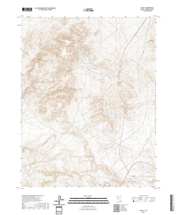
2021 Map of Basalt
USGS Topo · Published 2021About this map
Basalt sits at the southern edge of this high-desert landscape in Nevada’s Mineral County. The terrain is dominated by the northern reaches of the Candelaria Hills, where complex contour patterns reveal a deeply dissected volcanic topography. This 2021 topographic record shows the intersection of State Route 360 and Route 6, reflecting the modern transportation network that traces much older paths through these dry basins. The grid lines of t3n r32e, t3n r33e, t2n r32e, and t2n r33e divide the territory, which is characterized by broad alluvial slopes and intermittent drainage patterns typical of the Great Basin region.
Find a feature on this map
9 named features on this map. Tap any name to fly to it.
Don’t see what you’re looking for? This feature index may not catch every label — zoom into the map to look around manually.
Map Details
Editions of this 2021 Basalt Map
This is the sole edition of this map. No revisions or reprints were ever made.
Other maps of this area

1909 · Hawthorne
USGS Topo · 1:250,000

1911 · Hawthorne
USGS Topo · 1:250,000

1915 · Hawthorne
USGS Topo · 1:250,000

1917 · White Mountain
USGS Topo · 1:125,000

1947 · Mariposa
USGS Topo · 1:250,000

1948 · Walker Lake
USGS Topo · 1:250,000

1948 · Mariposa
USGS Topo · 1:250,000

1957 · Walker Lake
USGS Topo · 1:250,000

1957 · Mariposa
USGS Topo · 1:250,000

1962 · Walker Lake
USGS Topo · 1:250,000