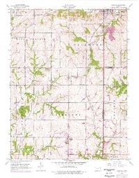
1949 Map of Basehor
USGS Topo · Published 1976About this map
Lansing and its surrounding rural townships define this landscape on the border of Leavenworth and Wyandotte counties. The northeast corner is dominated by the Kansas State Penitentiary and the Lansing Cemetery, showing a settled institutional presence near the Ninemile Creek drainage. Further south, the map traces the intersection of transport and agriculture at Victory Junction and the growth of Basehor, including its southern extension at South Basehor.
Find a feature on this map
36 named features on this map. Tap any name to fly to it.
Don’t see what you’re looking for? This feature index may not catch every label — zoom into the map to look around manually.
Map Details
Editions of this 1949 Basehor Map
This is the sole edition of this map. No revisions or reprints were ever made.
Other maps of this area

1886 · Oskaloosa
USGS Topo · 1:125,000

1888 · Oskaloosa
USGS Topo · 1:125,000

1890 · Kansas City
USGS Topo · 1:125,000

1894 · Kansas City
USGS Topo · 1:125,000

1894 · Oskaloosa
USGS Topo · 1:125,000

1910 · Leavenworth
USGS Topo · 1:62,500

1934 · Bonner Springs
USGS Topo · 1:48,000

1934 · Edwardsville
USGS Topo · 1:24,000

1934 · Wolcott
USGS Topo · 1:24,000

1940 · Bonner Springs
USGS Topo · 1:62,500