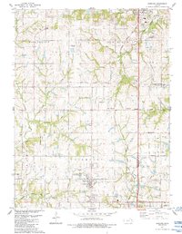
1984 Map of Basehor
USGS Topo · Published 1984About this map
The State Penitentiary in Lansing anchors the northeastern corner of this landscape, where the rolling hills of High Prairie meet the residential and agricultural expansions of the mid-1980s. This survey records the distinct spatial organization of Leavenworth and Wyandotte counties, marked by the historical Old Indian Treaty Boundary cutting across the central terrain. The railroad legacy of the region is evident in the Atchison Topeka and Santa Fe Railroad Grade, which parallels the growing corridors of Basehor and South Basehor.
Find a feature on this map
46 named features on this map. Tap any name to fly to it.
Don’t see what you’re looking for? This feature index may not catch every label — zoom into the map to look around manually.
Map Details
Editions of this 1984 Basehor Map
This is the sole edition of this map. No revisions or reprints were ever made.
Other maps of this area

1886 · Oskaloosa
USGS Topo · 1:125,000

1888 · Oskaloosa
USGS Topo · 1:125,000

1890 · Kansas City
USGS Topo · 1:125,000

1894 · Kansas City
USGS Topo · 1:125,000

1894 · Oskaloosa
USGS Topo · 1:125,000

1910 · Leavenworth
USGS Topo · 1:62,500

1934 · Bonner Springs
USGS Topo · 1:48,000

1934 · Edwardsville
USGS Topo · 1:24,000

1934 · Wolcott
USGS Topo · 1:24,000

1940 · Bonner Springs
USGS Topo · 1:62,500