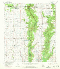
1960 Map of Basile
USGS Topo · Published 1972About this map
Bayou Nezpique winds through the heart of this coastal prairie landscape, forming the boundary between Allen and Jefferson Davis Parishes and Evangeline and Acadia Parishes. The region’s economic life in the mid-20th century is clearly defined by the intersection of traditional agriculture and a burgeoning petroleum industry, with extensive drilling operations like the Tepetate Oil and Gas Field and Evangeline Oil and Gas Field dotting the countryside. Transport networks, including the Missouri Pacific and Southern Pacific railroads, connect established settlements such as Elton and Basile.
Find a feature on this map
53 named features on this map. Tap any name to fly to it.
Don’t see what you’re looking for? This feature index may not catch every label — zoom into the map to look around manually.
Map Details
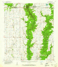
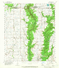
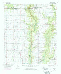
Editions of this 1960 Basile Map
4 editions found
Other maps of this area

1946 · Mermentau
USGS Topo · 1:31,680

1946 · Jennings
USGS Topo · 1:31,680

1947 · Evangeline
USGS Topo · 1:31,680

1947 · Kinder
USGS Topo · 1:31,680

1947 · Fruge Lake
USGS Topo · 1:31,680

1947 · Oberlin
USGS Topo · 1:31,680

1947 · Pine Island
USGS Topo · 1:31,680

1947 · Welsh
USGS Topo · 1:31,680

1947 · Redland
USGS Topo · 1:31,680

1947 · Elton
USGS Topo · 1:31,680