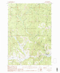
1985 Map of Basin
USGS Topo · Published 1986About this map
The small settlement of Basin sits at the confluence of Basin Creek and the Boulder River, serving as the primary anchor in this 1985 survey of Jefferson County. Located within the Deerlodge National Forest, the area’s landscape is defined by its industrial history, marked by numerous Prospect sites and Mine Shaft locations scattered through gulches like Saul Haggerty Gulch and Lily-of-the-West Gulch. The transport network reveals a transition in mobility, featuring both a Pack Trail and an Abandoned Railroad alongside an Old Railroad Grade that traces the river valley. Landmarks such as Indian Head Rock and the Radio Facility Lookout Tower on Jack Mountain provide clear orientation points for those studying the rugged interior of the forest. The presence of a local Cem near the town center offers a specific touchpoint for genealogists researching families from this mining and timber region.
Find a feature on this map
41 named features on this map. Tap any name to fly to it.
Don’t see what you’re looking for? This feature index may not catch every label — zoom into the map to look around manually.
Map Details
Editions of this 1985 Basin Map
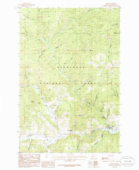
2 editions found
Other maps of this area

1889 · Helena
USGS Topo · 1:250,000

1893 · Helena
USGS Topo · 1:250,000

1899 · Boulder
USGS Topo · 1:125,000

1899 · Helena
USGS Topo · 1:250,000

1903 · Helena
USGS Topo · 1:250,000

1947 · Butte
USGS Topo · 1:250,000

1950 · Jefferson City
USGS Topo · 1:62,500

1954 · Elk Park
USGS Topo · 1:62,500

1954 · Basin
USGS Topo · 1:62,500

1954 · Boulder
USGS Topo · 1:62,500