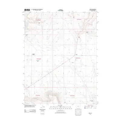
2013 Map of Basin
USGS Topo · Published 2013About this map
Basin sits at the heart of this high-plateau landscape in San Miguel County, where ranching and rugged topography define the rural character. The settlement pattern is sparse, oriented around landmarks like Beards Corner and the Young Ranch. Water is a precious and intermittent resource here, evidenced by named features such as Poison Spider Spring and Cottonwood Pond, while the drainage network of Dry Cr and Dead Horse Cr carves through the terrain. Evidence of past wildfires or vegetation changes is preserved in the label The Burn in the northern section of the survey.
Find a feature on this map
28 named features on this map. Tap any name to fly to it.
Don’t see what you’re looking for? This feature index may not catch every label — zoom into the map to look around manually.
Map Details
Editions of this 2013 Basin Map
This is the sole edition of this map. No revisions or reprints were ever made.
Other maps of this area

1916 · Paradox Valley
USGS Topo · 1:125,000

1922 · Paradox Valley
USGS Topo · 1:125,000

1948 · Naturita NW
USGS Topo · 1:24,000

1948 · Gypsum Gap
USGS Topo · 1:24,000

1949 · Gypsum Gap
USGS Topo · 1:24,000

1949 · Naturita NW
USGS Topo · 1:24,000

1956 · Cortez
USGS Topo · 1:250,000

1956 · Moab
USGS Topo · 1:250,000

1958 · Cortez
USGS Topo · 1:250,000

1959 · Cortez
USGS Topo · 1:250,000