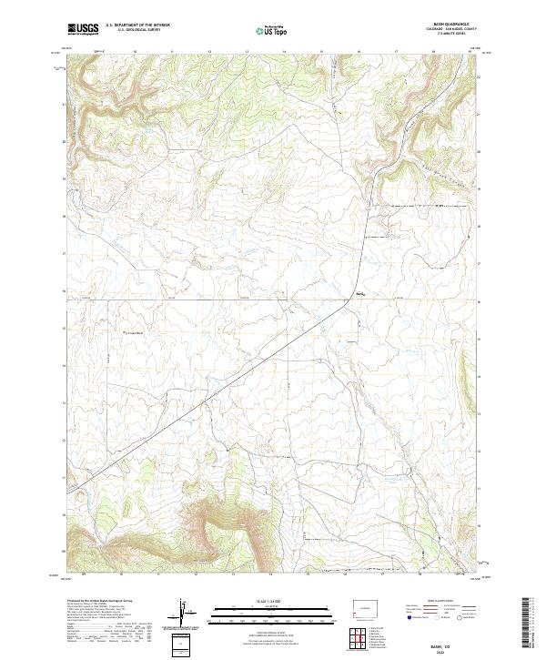
2022 Map of Basin
USGS Topo · Published 2022About this map
Basin occupies the center of this high-altitude landscape in San Miguel County, where the hydrology is defined by seasonal drainages and a few vital water sources. The topography transitions from the lower Dry Creek Basin toward the deeper incisions of Dry Creek Canyon and the winding course of Big Gypsum Cr to the south. Notable for local history and land use, the map identifies Poison Spider Spring and Cottonwood Pond, critical points in an otherwise arid environment dominated by canyons and draws.
Find a feature on this map
30 named features on this map. Tap any name to fly to it.
Don’t see what you’re looking for? This feature index may not catch every label — zoom into the map to look around manually.
Map Details
Editions of this 2022 Basin Map
This is the sole edition of this map. No revisions or reprints were ever made.
Other maps of this area

1916 · Paradox Valley
USGS Topo · 1:125,000

1922 · Paradox Valley
USGS Topo · 1:125,000

1948 · Naturita NW
USGS Topo · 1:24,000

1948 · Gypsum Gap
USGS Topo · 1:24,000

1949 · Gypsum Gap
USGS Topo · 1:24,000

1949 · Naturita NW
USGS Topo · 1:24,000

1956 · Cortez
USGS Topo · 1:250,000

1956 · Moab
USGS Topo · 1:250,000

1958 · Cortez
USGS Topo · 1:250,000

1959 · Cortez
USGS Topo · 1:250,000