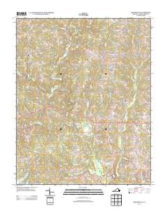
2013 Map of Baskerville
USGS Topo · Published 2013About this map
Baskerville serves as the focal point for this rural Mecklenburg County landscape, situated at a road junction in an area defined by agricultural tracts and small community corners. The map details a network of named crossroads and settlements including Gordon Corner, Muck Cross, and Callahans Corner, which historically anchored the local farming economy. A notable institutional landmark is the State Prison Camp Number 4 located near Stony Cross.
Find a feature on this map
70 named features on this map. Tap any name to fly to it.
Don’t see what you’re looking for? This feature index may not catch every label — zoom into the map to look around manually.
Map Details
Editions of this 2013 Baskerville Map
This is the sole edition of this map. No revisions or reprints were ever made.
Other maps of this area

1953 · Greensboro
USGS Topo · 1:250,000

1954 · Greensboro
USGS Topo · 1:250,000

1955 · Chase City
USGS Topo · 1:62,500

1955 · Kenbridge
USGS Topo · 1:62,500

1955 · Boydton
USGS Topo · 1:62,500

1962 · Greensboro
USGS Topo · 1:250,000

1966 · Greensboro
USGS Topo · 1:250,000
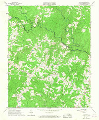
1966 · Wightman
USGS Topo · 1:24,000
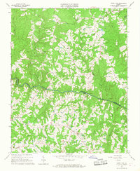
1966 · North View
USGS Topo · 1:24,000
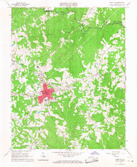
1966 · Chase City
USGS Topo · 1:24,000