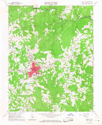
1966 Map of Chase City
USGS Topo · Published 1968About this map
Chase City serves as the primary hub in this mid-1960s survey of south-central Virginia, where the Southern railroad line cuts through a landscape defined by small-scale commerce and rural social centers. The town’s footprint includes the South Central Fairgrounds, the Mecklenburg Country Club, and various civic anchors like the Lee Sch. Beyond the central red-tinted urban area, the countryside is dotted with legacy family and community landmarks, including Walkers Store and Bynum Store, which suggest the persistence of crossroads commerce in this era.
Find a feature on this map
36 named features on this map. Tap any name to fly to it.
Don’t see what you’re looking for? This feature index may not catch every label — zoom into the map to look around manually.
Map Details
Editions of this 1966 Chase City Map
2 editions found
Other maps of this area

1941 · Clarksville
USGS Topo · 1:48,000

1943 · Clarksville
USGS Topo · 1:62,500

1953 · Greensboro
USGS Topo · 1:250,000

1954 · Greensboro
USGS Topo · 1:250,000

1954 · Clover
USGS Topo · 1:62,500

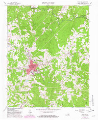
1955 · Chase City
USGS Topo · 1:62,500

1955 · Boydton
USGS Topo · 1:62,500

1957 · Clarksville
USGS Topo · 1:62,500

1962 · Greensboro
USGS Topo · 1:250,000

1966 · Greensboro
USGS Topo · 1:250,000