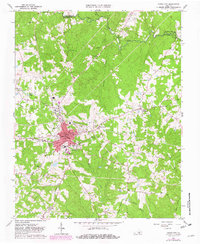
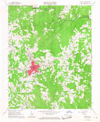
1966 Map of Chase City
USGS Topo · Published 1982About this map
Chase City serves as the focal point of this Mecklenburg County landscape, shown during a period of transition as mid-century infrastructure met established rural patterns. The town core is dense with activity, including the South Central Fairgrounds and the Southern railroad line that cuts north through the countryside toward Finneywood. The surrounding terrain is defined by a network of watercourses like Butcher Creek and the Meherrin River, which marks the northern boundary shared with Lunenburg County.
Find a feature on this map
35 named features on this map. Tap any name to fly to it.
Don’t see what you’re looking for? This feature index may not catch every label — zoom into the map to look around manually.
Map Details
Editions of this 1966 Chase City Map
2 editions found
Other maps of this area

1941 · Clarksville
USGS Topo · 1:48,000

1943 · Clarksville
USGS Topo · 1:62,500

1953 · Greensboro
USGS Topo · 1:250,000

1954 · Greensboro
USGS Topo · 1:250,000

1954 · Clover
USGS Topo · 1:62,500

1955 · Chase City
USGS Topo · 1:62,500

1955 · Boydton
USGS Topo · 1:62,500

1957 · Clarksville
USGS Topo · 1:62,500

1962 · Greensboro
USGS Topo · 1:250,000

1966 · Greensboro
USGS Topo · 1:250,000