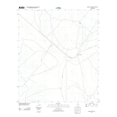
2012 Map of Bass Canyon
USGS Topo · Published 2012About this map
Bass Canyon and the surrounding high desert of West Texas are characterized by the sparse, strategic placement of ranching outposts and remote crossings. In this arid landscape, Scotts Crossing serves as a critical junction where local routes converge near the drainage of the Green River. The infrastructure is defined by long, straight stretches of Green River Rd, reflecting the vast distances between pockets of habitation such as Pinon Ranch. To the northeast, the settlement of Collado sits along the rail line, illustrating the region's reliance on transportation corridors to connect isolated homesteads to the wider world. The drainage patterns of the Green River dominate the southern portion of the sheet, carving through the terrain in an area where water is the primary architect of the geography.
Find a feature on this map
6 named features on this map. Tap any name to fly to it.
Don’t see what you’re looking for? This feature index may not catch every label — zoom into the map to look around manually.
Map Details
Editions of this 2012 Bass Canyon Map
This is the sole edition of this map. No revisions or reprints were ever made.
Other maps of this area

1892 · Chispa
USGS Topo · 1:125,000

1895 · Chispa
USGS Topo · 1:125,000

1895 · Sierra Blanca
USGS Topo · 1:125,000

1897 · Eagle Mountain
USGS Topo · 1:125,000

1897 · Chispa
USGS Topo · 1:125,000

1906 · Van Horn
USGS Topo · 1:125,000

1916 · Eagle Mountain
USGS Topo · 1:125,000

1954 · Van Horn
USGS Topo · 1:250,000

1958 · Van Horn
USGS Topo · 1:250,000

1959 · Marfa
USGS Topo · 1:250,000