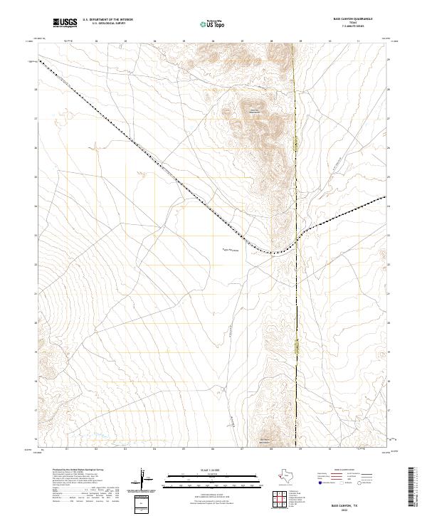
2022 Map of Bass Canyon
USGS Topo · Published 2022About this map
Bass Canyon cuts through the high desert of West Texas in this contemporary geographic study of Hudspeth County. The landscape is defined by its wide, arid drainage patterns and significant elevation changes, situated within a region where water management and topographical relief are central to the local environment. While the area is sparsely populated, the map provides precise data on the natural contours and hydraulic features that dictate land use in this part of the Trans-Pecos. This record captures the precise state of the desert floor and its seasonal watercourses as they existed in the early 2020s, serving as a baseline for environmental and geological research.
Find a feature on this map
1 named feature on this map. Tap any name to fly to it.
Don’t see what you’re looking for? This feature index may not catch every label — zoom into the map to look around manually.
Map Details
Editions of this 2022 Bass Canyon Map
This is the sole edition of this map. No revisions or reprints were ever made.
Other maps of this area

1892 · Chispa
USGS Topo · 1:125,000

1895 · Chispa
USGS Topo · 1:125,000

1895 · Sierra Blanca
USGS Topo · 1:125,000

1897 · Eagle Mountain
USGS Topo · 1:125,000

1897 · Chispa
USGS Topo · 1:125,000

1906 · Van Horn
USGS Topo · 1:125,000

1916 · Eagle Mountain
USGS Topo · 1:125,000

1954 · Van Horn
USGS Topo · 1:250,000

1958 · Van Horn
USGS Topo · 1:250,000

1959 · Marfa
USGS Topo · 1:250,000