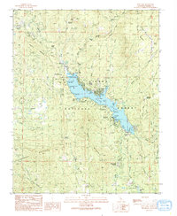
1990 Map of Bass Lake
USGS Topo · Published 1990About this map
Bass Lake and the Crane Valley Reservoir anchor this 1990 survey of the Sierra Nevada foothills, revealing a landscape defined by water management and mountain recreation. The shoreline is densely packed with public facilities, including the The Pines settlement and numerous recreation sites like Wishon Point Campground and Recreation Point CG and Picnic Area. Local history and community life are marked by the Bass Lake Sch, the Denver Church, and the Little Denver Church.
Find a feature on this map
55 named features on this map. Tap any name to fly to it.
Don’t see what you’re looking for? This feature index may not catch every label — zoom into the map to look around manually.
Map Details
Editions of this 1990 Bass Lake Map
This is the sole edition of this map. No revisions or reprints were ever made.
Other maps of this area

1904 · Kaiser
USGS Topo · 1:125,000

1912 · Mariposa
USGS Topo · 1:125,000

1942 · Millerton Lake
USGS Topo · 1:62,500

1945 · Millerton Lake
USGS Topo · 1:62,500

1947 · Mariposa
USGS Topo · 1:250,000

1948 · Mariposa
USGS Topo · 1:250,000
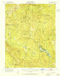
1953 · Bass Lake
USGS Topo · 1:62,500

1953 · Shaver Lake
USGS Topo · 1:62,500

1953 · Shuteye Peak
USGS Topo · 1:62,500

1957 · Mariposa
USGS Topo · 1:250,000