2022 Map of Bass Lake
USGS Topo · Published 2022About this map
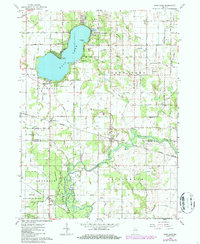
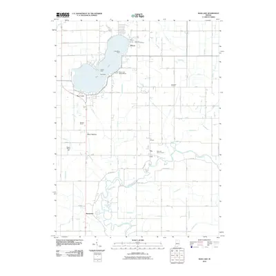
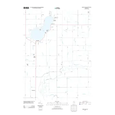
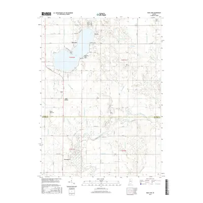
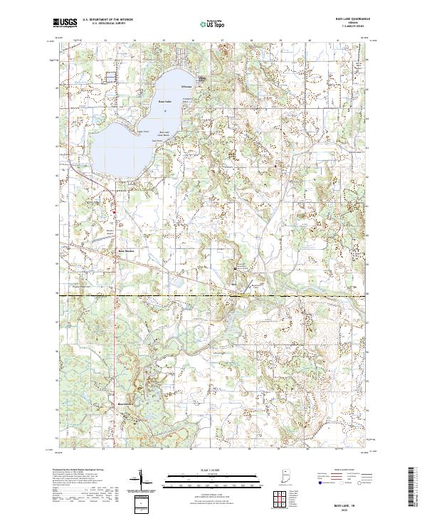
Winona and Bass Lake State Beach anchor the northern shore of Bass Lake, where residential streets and recreation define the local geography. The landscape transitions south from these lakeside developments into a complex drainage network typical of rural Starke and Pulaski Counties. This region is marked by an extensive system of man-made waterways, including Marks Ditch, Craigmile Ditch, and Colman Ditch, which channel water toward the Tippecanoe River in the south. These features reveal the engineered nature of the land, designed to support the small settlements of Bass Station, Ora, and Beardstown. In the southeastern corner, the meandering path of the river contrasts with the straight lines of the surrounding agricultural grid. Local landmarks like Pigeon Roost Hill and the North Judson To Monterey Trl provide points of interest for those studying the regional layout and historical property lines.
Find a feature on this map
82 named features on this map. Tap any name to fly to it.
Don’t see what you’re looking for? This feature index may not catch every label — zoom into the map to look around manually.
Map Details
Editions of this 2022 Bass Lake Map
This is the sole edition of this map. No revisions or reprints were ever made.
Historical Maps of Beardstown Through Time
6 maps found