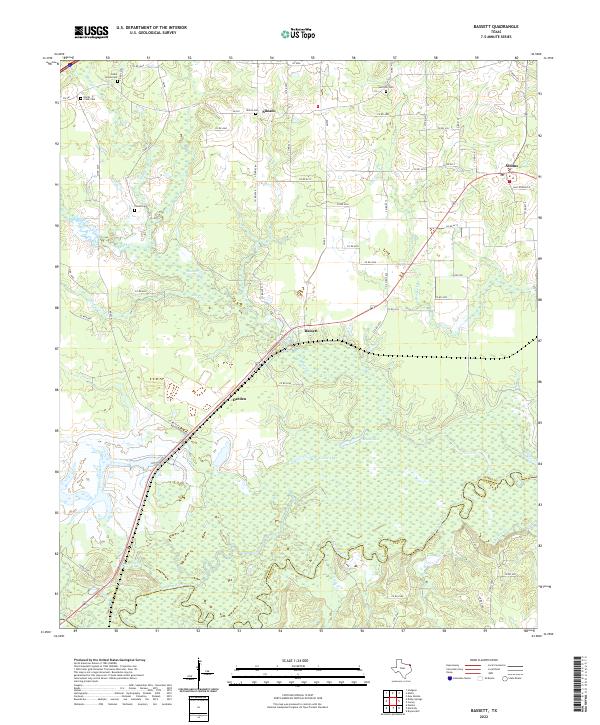
2022 Map of Bassett
USGS Topo · Published 2022About this map
The Sulphur River dominates the southern landscape of this Bowie County region, creating a broad wetland environment characterized by Mudd Lake and Calver Lake. Settlement is concentrated along the higher ground to the north, where small communities like Bassett, Darden, and Simms are connected by a network of farm-to-market roads and county routes. The area retains a deeply rural character, with the land crisscrossed by numerous small drainage ways including Blythe Creek, Brooks Cr, and Weaver Cr.
Find a feature on this map
69 named features on this map. Tap any name to fly to it.
Don’t see what you’re looking for? This feature index may not catch every label — zoom into the map to look around manually.
Map Details
Editions of this 2022 Bassett Map
This is the sole edition of this map. No revisions or reprints were ever made.
Other maps of this area

1909 · New Boston
USGS Topo · 1:62,500

1910 · Linden
USGS Topo · 1:62,500

1914 · Daingerfield
USGS Topo · 1:62,500

1930 · Bassett
USGS Topo · 1:62,500

1953 · Texarkana
USGS Topo · 1:250,000

1954 · New Boston
USGS Topo · 1:24,000

1955 · Corley
USGS Topo · 1:24,000

1955 · New Boston
USGS Topo · 1:62,500

1956 · Texarkana
USGS Topo · 1:250,000
1965 · Hodgson
USGS Topo · 1:24,000