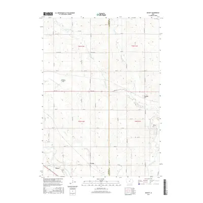
2015 Map of Bassett
USGS Topo · Published 2015About this map
The Little Cedar River and the Cedar River converge in this corner of Iowa, shaping a landscape defined by meandering waterways and a dense grid of agricultural section roads. Near the western border, the Northeast Iowa Regional Airport serves as a modern waypoint, while the small settlement of Bassett sits in the northeast, positioned where Beaver Cr flows toward the larger river systems. This survey documents the transition from the upland prairies to the alluvial plains, where numerous smaller tributaries like Gizzard Cr and Schultz Cr drain into the primary basins.
Find a feature on this map
47 named features on this map. Tap any name to fly to it.
Don’t see what you’re looking for? This feature index may not catch every label — zoom into the map to look around manually.
Map Details
Editions of this 2015 Bassett Map
This is the sole edition of this map. No revisions or reprints were ever made.
Other maps of this area

1954 · Mason City
USGS Topo · 1:250,000

1954 · Waterloo
USGS Topo · 1:250,000

1955 · Waterloo
USGS Topo · 1:250,000

1957 · Mason City
USGS Topo · 1:250,000

1958 · Mason City
USGS Topo · 1:250,000

1971 · Tripoli NW
USGS Topo · 1:24,000

1971 · Charles City
USGS Topo · 1:24,000

1971 · Nashua NW
USGS Topo · 1:24,000

1971 · Bassett
USGS Topo · 1:24,000

1971 · Colwell
USGS Topo · 1:24,000