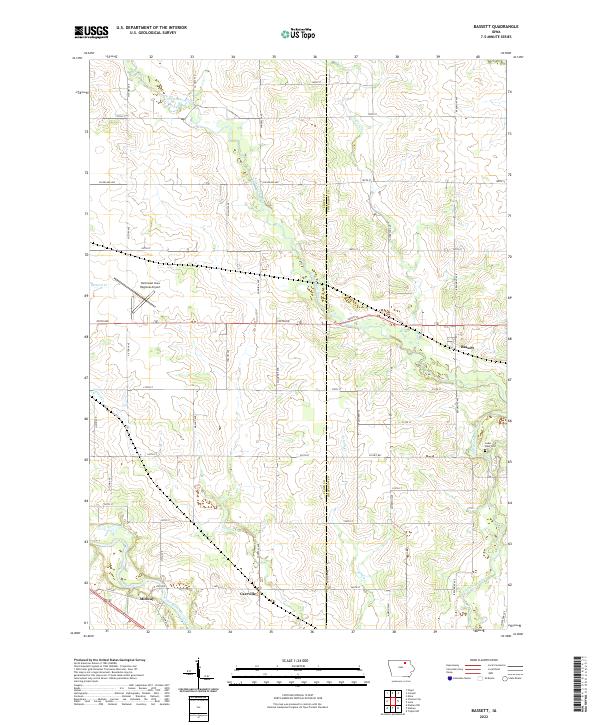
2022 Map of Bassett
USGS Topo · Published 2022About this map
Little Cedar River and Cedar River define the agricultural landscape along the boundary of Floyd and Chickasaw counties. The settlement of Bassett serves as a local focal point in the east, while the small communities of Carrville and Midway sit further south along the river bend. The terrain is characterized by a high density of rural section roads such as Victory Ave and Beaumont Ave, illustrating the enduring grid of Iowa's farming country.
Find a feature on this map
48 named features on this map. Tap any name to fly to it.
Don’t see what you’re looking for? This feature index may not catch every label — zoom into the map to look around manually.
Map Details
Editions of this 2022 Bassett Map
This is the sole edition of this map. No revisions or reprints were ever made.
Other maps of this area

1954 · Mason City
USGS Topo · 1:250,000

1954 · Waterloo
USGS Topo · 1:250,000

1955 · Waterloo
USGS Topo · 1:250,000

1957 · Mason City
USGS Topo · 1:250,000

1958 · Mason City
USGS Topo · 1:250,000

1971 · Tripoli NW
USGS Topo · 1:24,000

1971 · Charles City
USGS Topo · 1:24,000

1971 · Nashua NW
USGS Topo · 1:24,000

1971 · Bassett
USGS Topo · 1:24,000

1971 · Colwell
USGS Topo · 1:24,000