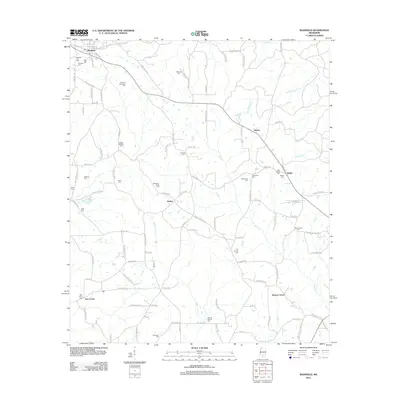
2012 Map of Bassfield
USGS Topo · Published 2012About this map
Bassfield serves as the primary hub in this southern Mississippi landscape, anchored by a network of rural settlements including Bethel, Morris, and Hickory Grove. The area is notably dense with family-named burial sites, providing a significant resource for genealogical research. Locations like the Stewart-Thompson Cem, Magee-Sullivan Cem, and Blackburn-Carter Cem are scattered among the drainages of Black Cr and Upper Little Cr.
Find a feature on this map
113 named features on this map. Tap any name to fly to it.
Don’t see what you’re looking for? This feature index may not catch every label — zoom into the map to look around manually.
Map Details
Editions of this 2012 Bassfield Map
This is the sole edition of this map. No revisions or reprints were ever made.
Other maps of this area

1953 · Hattiesburg
USGS Topo · 1:250,000

1958 · Hattiesburg
USGS Topo · 1:250,000

1970 · Bunker Hill
USGS Topo · 1:24,000

1970 · Columbia North
USGS Topo · 1:24,000

1970 · Prentiss East
USGS Topo · 1:24,000

1974 · Sumrall
USGS Topo · 1:24,000

1974 · Oloh
USGS Topo · 1:24,000

1974 · Williamsburg
USGS Topo · 1:24,000

1974 · Bassfield
USGS Topo · 1:24,000

1974 · Lake Mike Connor
USGS Topo · 1:24,000